- NAMES : USFS Road #7595, now trail #317595, is shown alternatively on maps as Eagle River Road, Eagle Creek Road, and Gilmer Bay Road. According to Our Grandparents’ Names on the Land, the Lingít name for the waterbody is Ch’aak’i Héeni or Eagles’ Creek.
- USE : ATV, mountain bike, and hike
- DESCRIPTION : Old logging road used for ATV riding, biking, hiking, and outer coast access.
- DISTANCE:
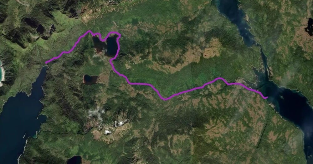
- Sukoi Lake – 5 miles one-way on Eagles’ Creek Road (open to motorized traffic)
- Gilmer Bay – additional ~3.5 miles one-way along Gilmer Bay Trail (closed to motorized traffic)
- TIME : Varies depending on mode of transport and water levels
- TRAILHEAD : Marine access facility (MAF) in Sukoi Inlet, Krestof Sound
- ELEVATION GAIN : 300+ feet
- RECOMMENDED SEASON : Year-Round, except after high precipitation
- LEVEL OF DIFFICULTY : Moderate
- TRAIL MANAGEMENT AGENCY : US Forest Service
ACCESS
The multi-use trail begins at a rock pier, built as a marine access facility (MAF) during logging, in Sukoi Inlet Krestof Sound north of Mud Bay, on the east coast of Kruzof Island and about 15 miles NW of Sitka by boat. It is easier to walk along the beach for the first 200 yards because the start of the road is very muddy.
The marine access facility (MAF) provides easy shore access at most tides despite the extensive tide flats in Sukoi Inlet.
Crossing Eagles’ Creek after heavy precipitation is not recommended.
HISTORY
This trail was originally constructed as a logging road in the early 1970’s.
DESCRIPTION
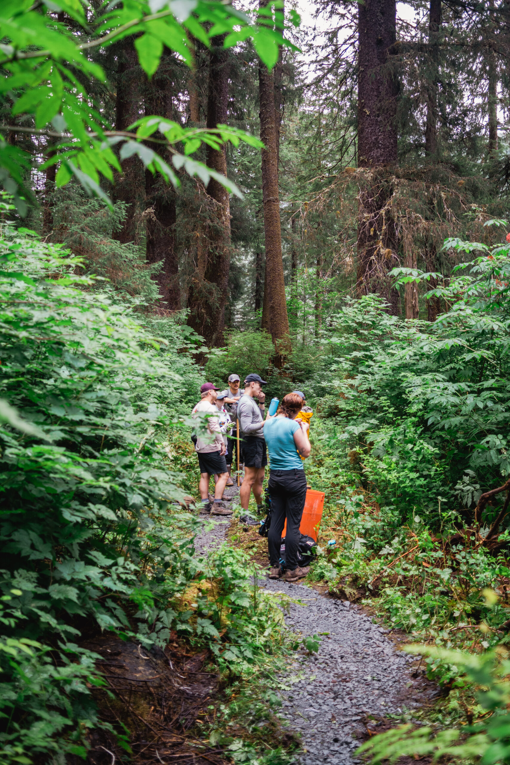
The first mile of the trail follows Eagles’ Creek, with ample opportunity for wildlife viewing. The stream attracts high bear densities during salmon season. Culvert and bridges were removed when the road was decommissioned, so users cross several tidally dependent stream fords, which can be over knee deep at high tides or after heavy rains.
A mile in, the road turns north to cross Eagles’ Creek. Crossing the stream can challenging when the water level is high from rain or tide. Algae accumulation of in the tidally dependent cobble streambed poses an additional slipping hazard. Water shoes and hiking poles are recommended for safe crossing.
The road gradually ascends to Sukoi Lake, where a sandy beach offers a perfect lunch spot.
Motorized access ends at the outlet stream of Sukoi Lake, but the route continues as a hiking trail to Gilmer Bay on the outer coast of Kruzof Island.
Note that this route is becoming increasingly degraded and overgrown. Sections of the trail to Gilmer Bay can become hard to follow around washouts and blowdown. We recommend bringing a pair of loppers and a hand saw so that you can leave it a little better than you found it!
OTHER SOURCES
US Forest Service – Kruzof Island Outfitter Guide EA