- USE : Hike
- DESCRIPTION : A steep climb to spectacular views on a clear day.
- LENGTH : 2.7 miles (one way)
- TIME : 3 hours (one way)
- TRAILHEAD : Begins 2 miles east of downtown on Sawmill Creek Road. Maintained trail ends at Picnic Rock.
- ELEVATION GAIN : 2,550 feet to Picnic Rock
- RECOMMENDED SEASON : Spring through late fall
- LEVEL OF DIFFICULTY : Difficult. Steep trail with many switchbacks. Tread in places is poor and usually wet, slippery and muddy. Numerous log steps and rocky/rooty sections. Some ropes and cables to grab in some of the more exposed places.
- TRAIL MANAGEMENT AGENCY : US Forest Service

ACCESS
The small 2-car parking lot and trailhead sign are two miles east of downtown Sitka along Sawmill Creek Road. Walk, bike, or carpool to the trailhead if possible to avoid illegal parking. Look for the trailhead sign on the left, mountain-side shortly after Wolff Drive & Chirikov Drive. If you pass Jamestown Drive headed outbound, you’ve gone too far. Beware of traffic coming around the blind corner when parking and pulling out. Please don’t let dogs loose at the parking lot for the sake of the neighbors.
HISTORY
The name “Verstovia” is derived from “verst,” an old Russian measurement unit. A “verst” is roughly 1,000 meters, which is almost exactly the height of Verstovia’s upper peak.
The lower hill slope was logged by the Russians in 1860 and evidence of charcoal pits remains about a quarter mile up the trail.
The trail up Verstovia was first built in the 1930’s during the Civilian Conservation Corps era.
SPECIAL FEATURES
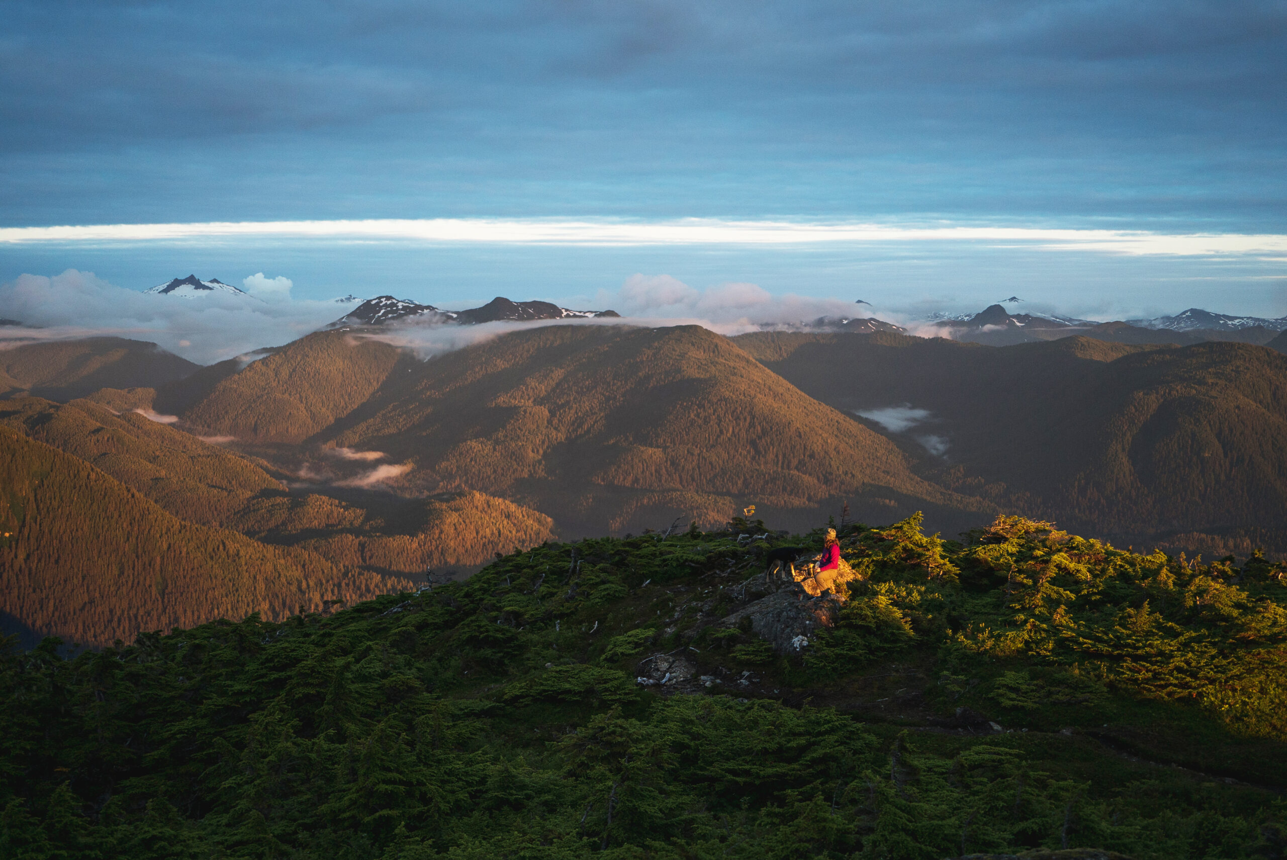
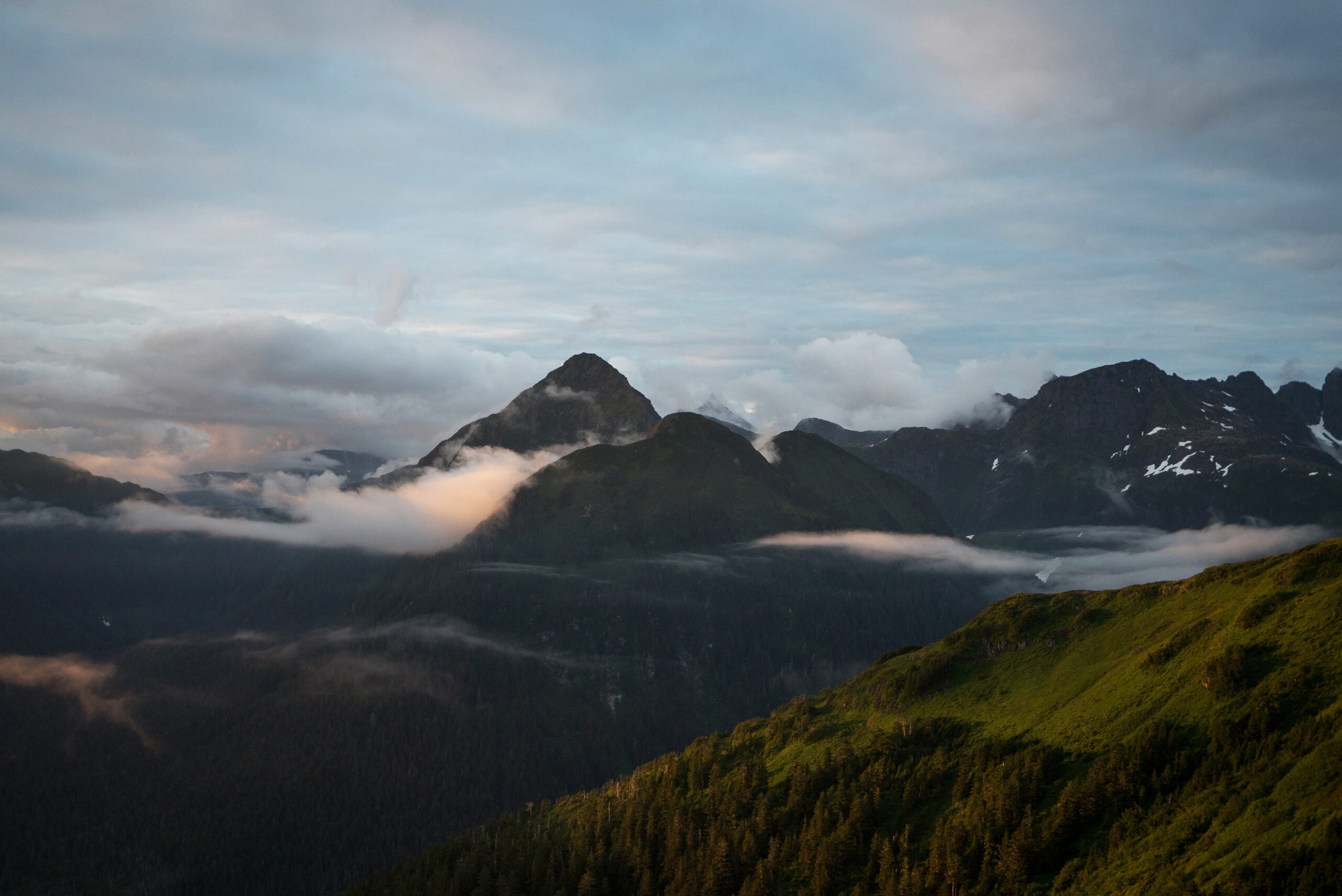
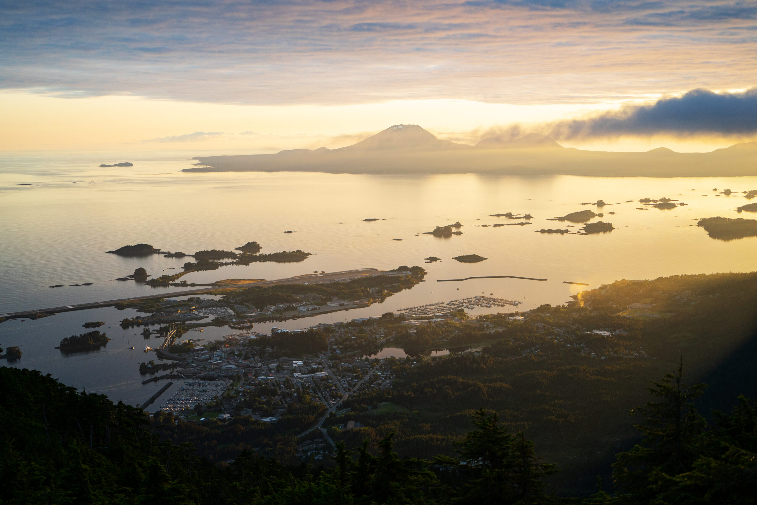
The trail ends in sub-alpine meadows and high ridges. The view is spectacular. Watch for bald eagles catching thermals.
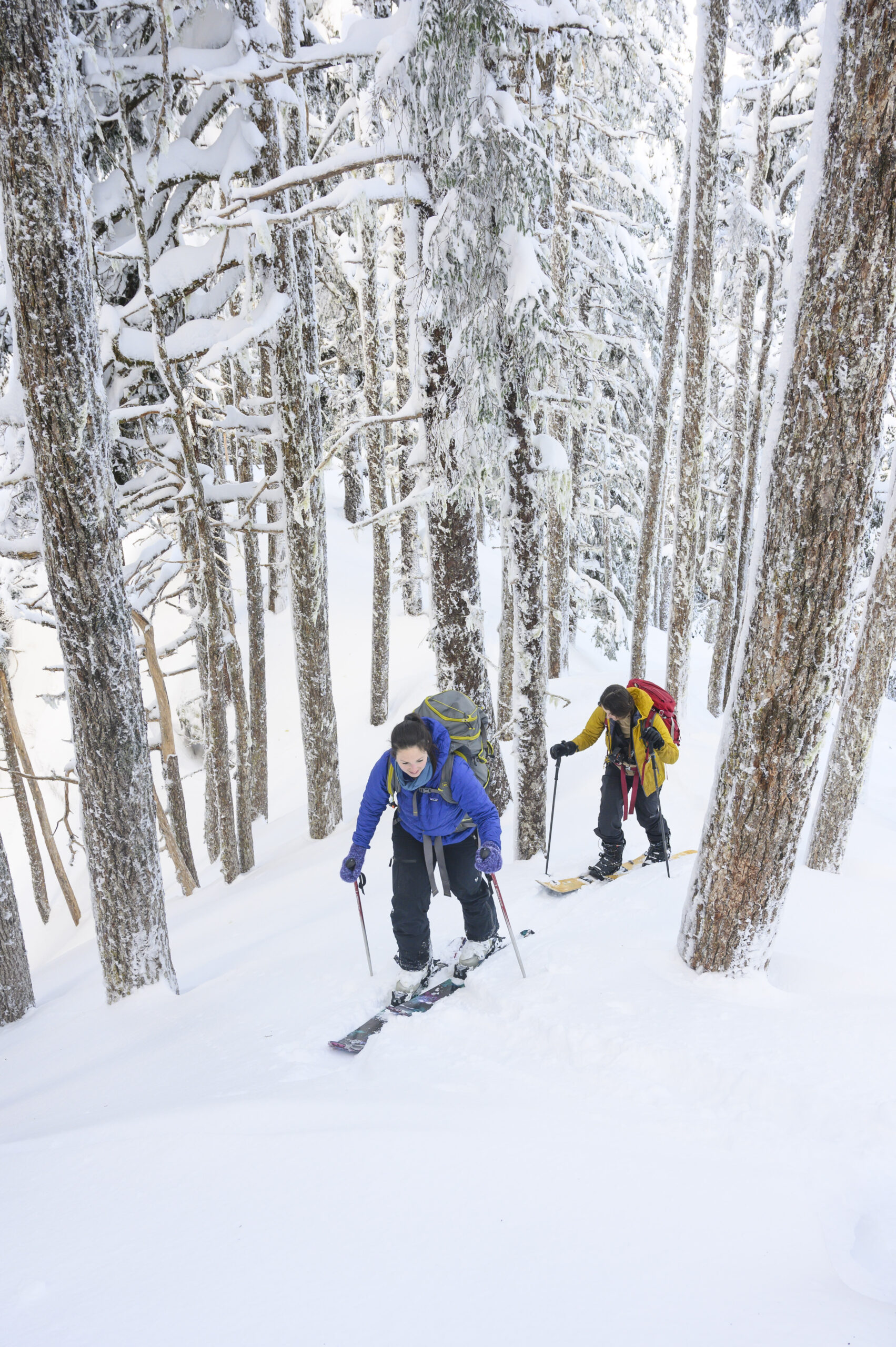
The alpine bowl east of Picnic Rock is the most popular destination for non-motorized winter recreation. Locals carry skis, snowboards, and sleds up to Picnic Rock throughout the winter. In some years, snow remains through May and June.
DESCRIPTION
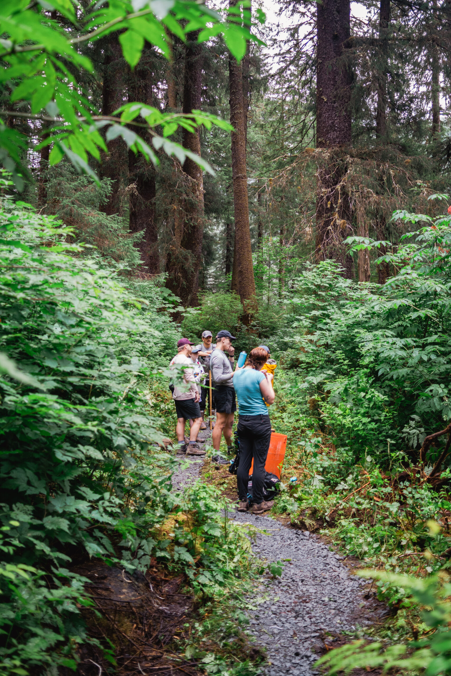
From the small parking lot on Sawmill Creek Road, the first short segment of trail runs through thickets of alder and salmonberry. Soon thereafter it enters the western hemlock-spruce forest where it remains until breaking over the ridge on the west shoulder of Verstovia. About a third of a mile along the trail, switchbacks begin up the southwest side of the mountain. There are a couple of nice viewpoints with benches in the forest openings along this part of the trail. At about 2,000 feet the trail reaches a ridge and climbs east.
The vegetation change between the 2,000 foot level and summit is dramatic. One moves from an open forest dominated by mountain hemlock into brushy meadows, across snowfields in winter and spring, through grassy sub-alpine meadows and finally into rocky alpine area with stunted, twisted plants. The maintained trail ends at Picnic Rock.
The route to the upper peak of Verstovia, locally known as Arrowhead, is not an established trail and the upper section is very rough and exposed. The last part of the climb ascends a steep scree gully with loose rocks; only for the sure-footed climber with backcountry mountaineering experience. Falls could be fatal – in 2022, one hiker barely survived after sliding down hundreds of feet off the route.
OTHER SOURCES: