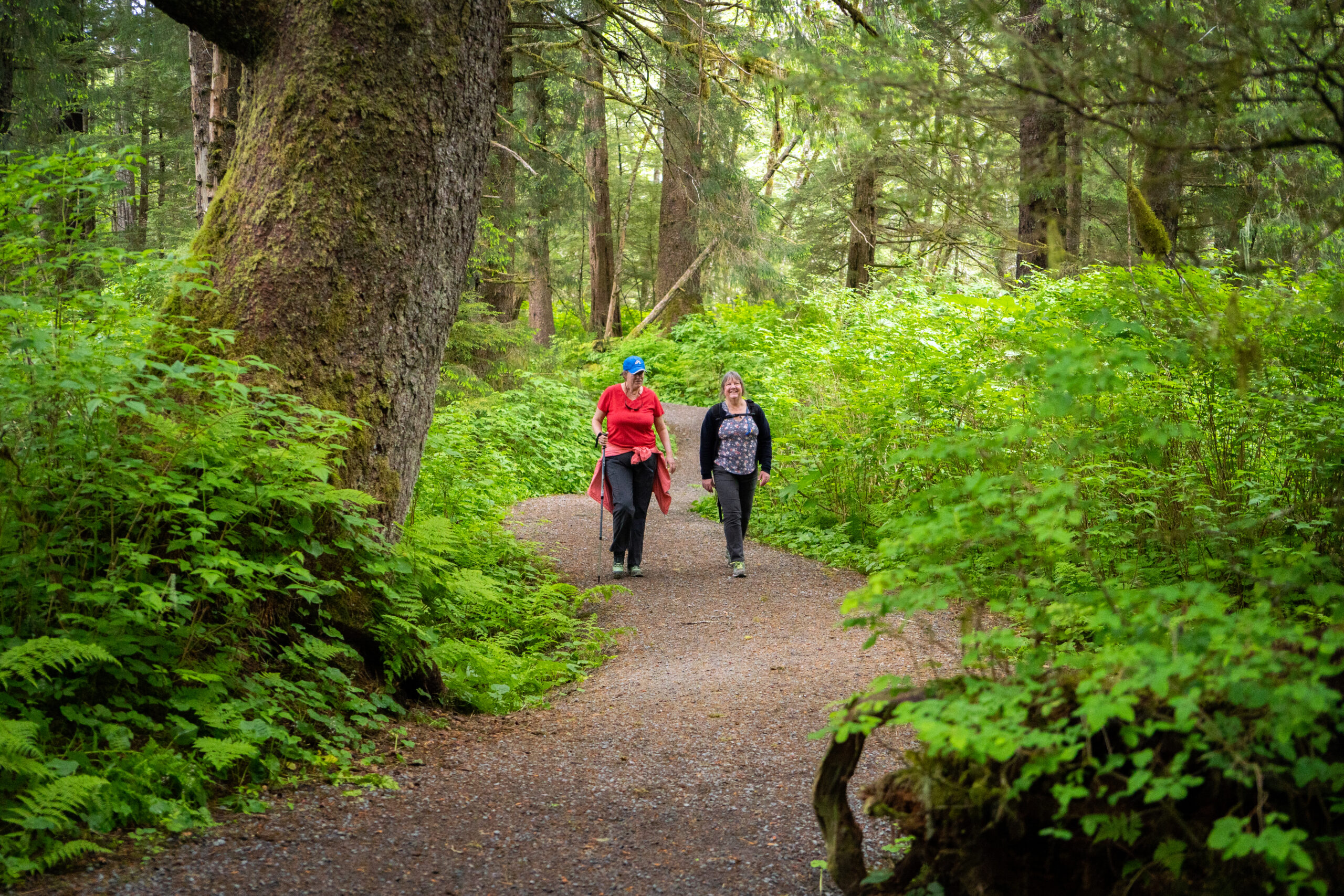
- USE : Bike and walk, cross country ski in winter.
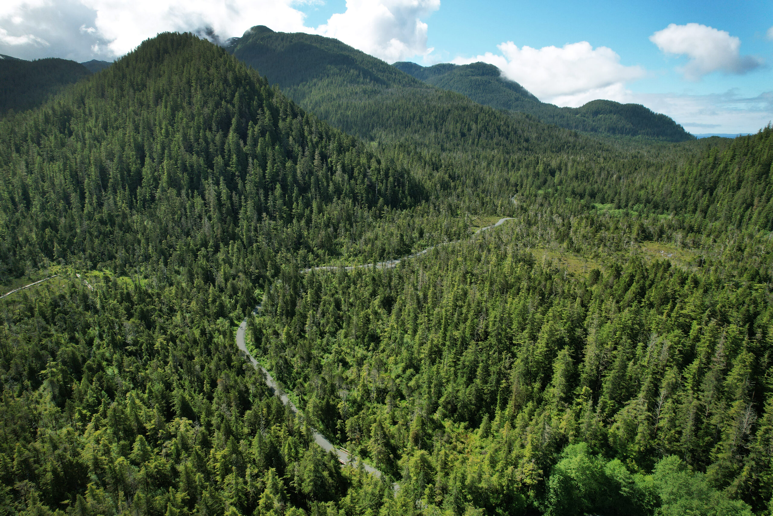
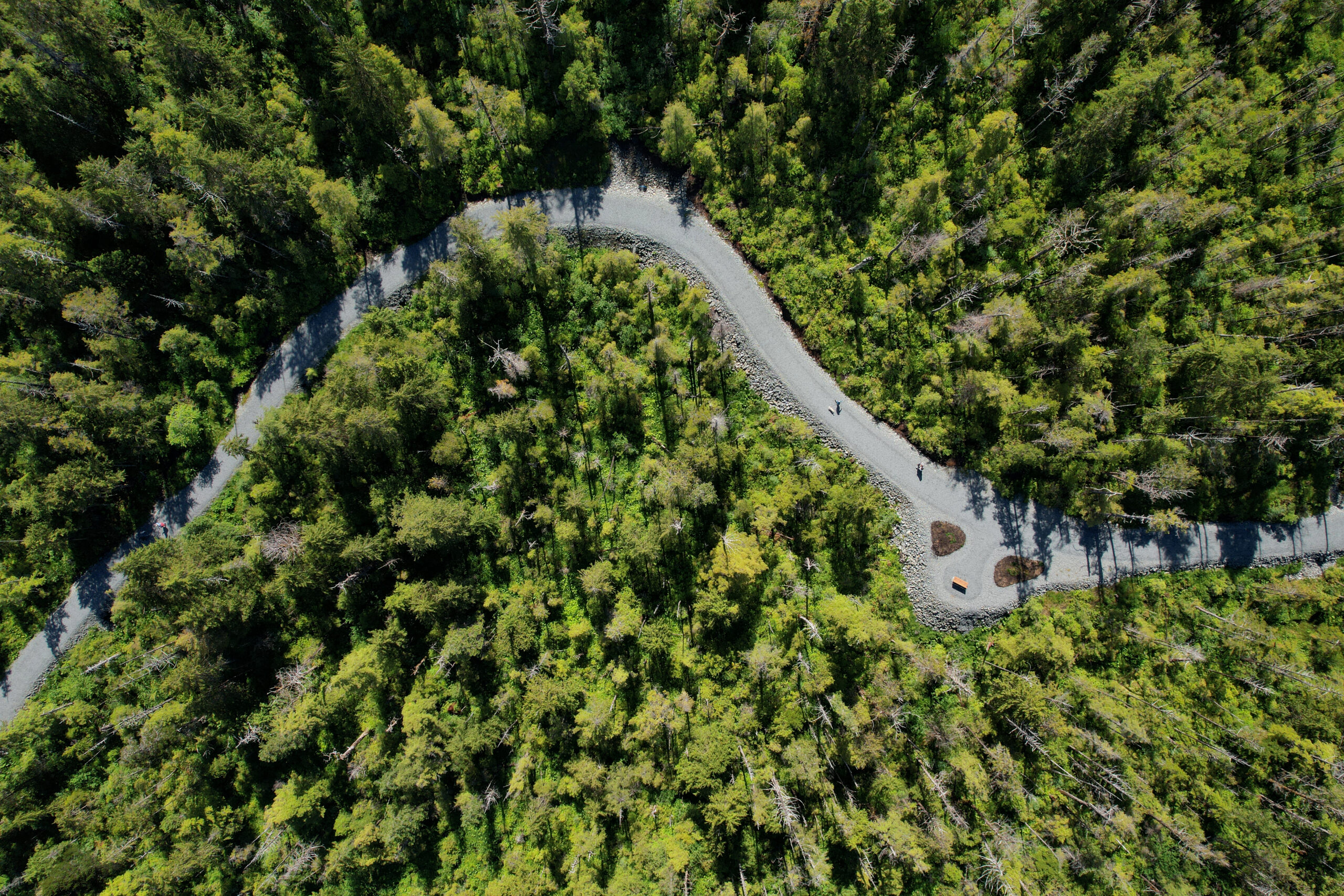
- DESCRIPTION : Wide and accessible new gravel trail connecting neighborhoods, parks, and schools. A new extension to Starrigavan opened in 2023.
- DISTANCE : Up to 8 miles (one way) from Kaasda Héen (Indian River) to Starrigavan, including a little over a mile on roadway shoulder.
- TIME : 1-2.5 hours (one way)
- TRAILHEADS : Begins at the Indian River Trailhead 0.5 miles down Indian River Road near Yaw Dr. Yaw separated path runs 0.33 miles until it connects to the main Cross Trail. Cross Trail ends several miles later at Starrigavan Cove & the cruise ship terminal dock. Many access points are present along the trail. Multiple loops are possible to neighborhoods, ball fields, parks, and stores. See map below.
- ELEVATION GAIN : 100-200 feet (mostly rolling hills)
- RECOMMENDED SEASON : Year round
- LEVEL OF DIFFICULTY : Mostly easy, with a few moderate sections. The trail is barrier free, but some grades approach 15% for short distances. The trail is bike-able throughout.
- TRAIL MANAGEMENT AGENCY : City and Borough of Sitka
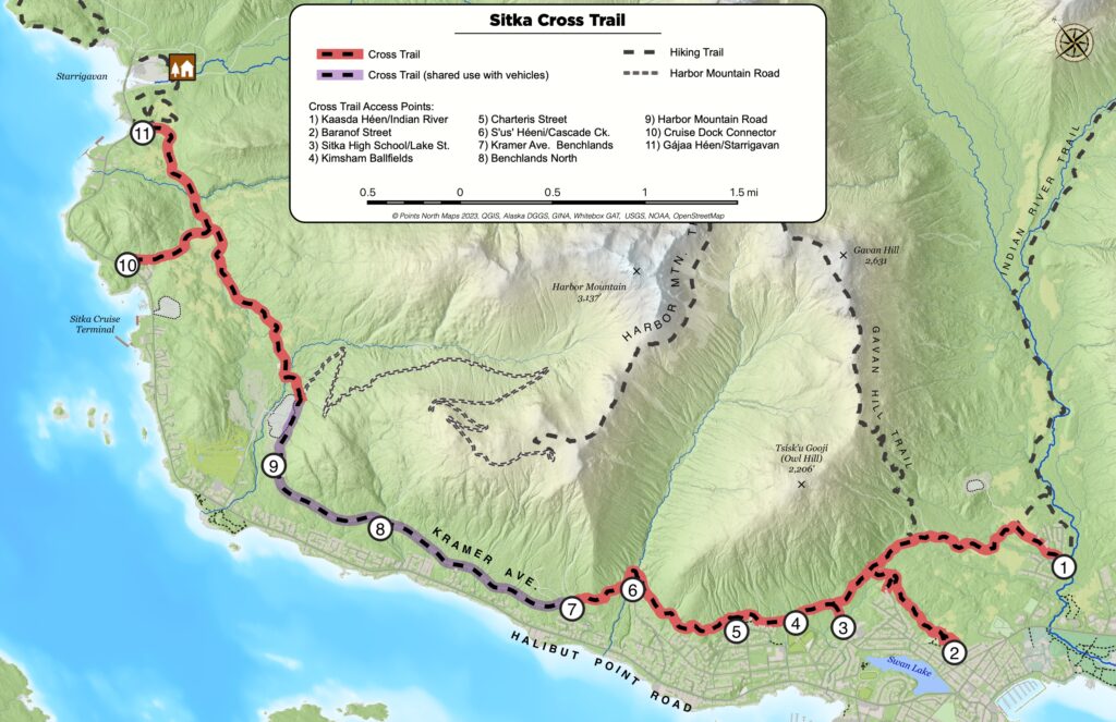
Access
This trail skirts the mountainous edge of Sitka’s neighborhoods and will eventually link the ferry terminal to Sawmill Cove. One can get to the Cross Trail in several locations around town beginning south to north:
Indian River Trail, Baranof Street, Sitka High School, Kimsham Recreation Complex by Keet Gooshi Heen Elementary school, Cascade Creek, Kramer Ave, North Benchlands, Harbor Mountain Road, Cruise Ship Dock Connector/Starrigavan Cove.
History
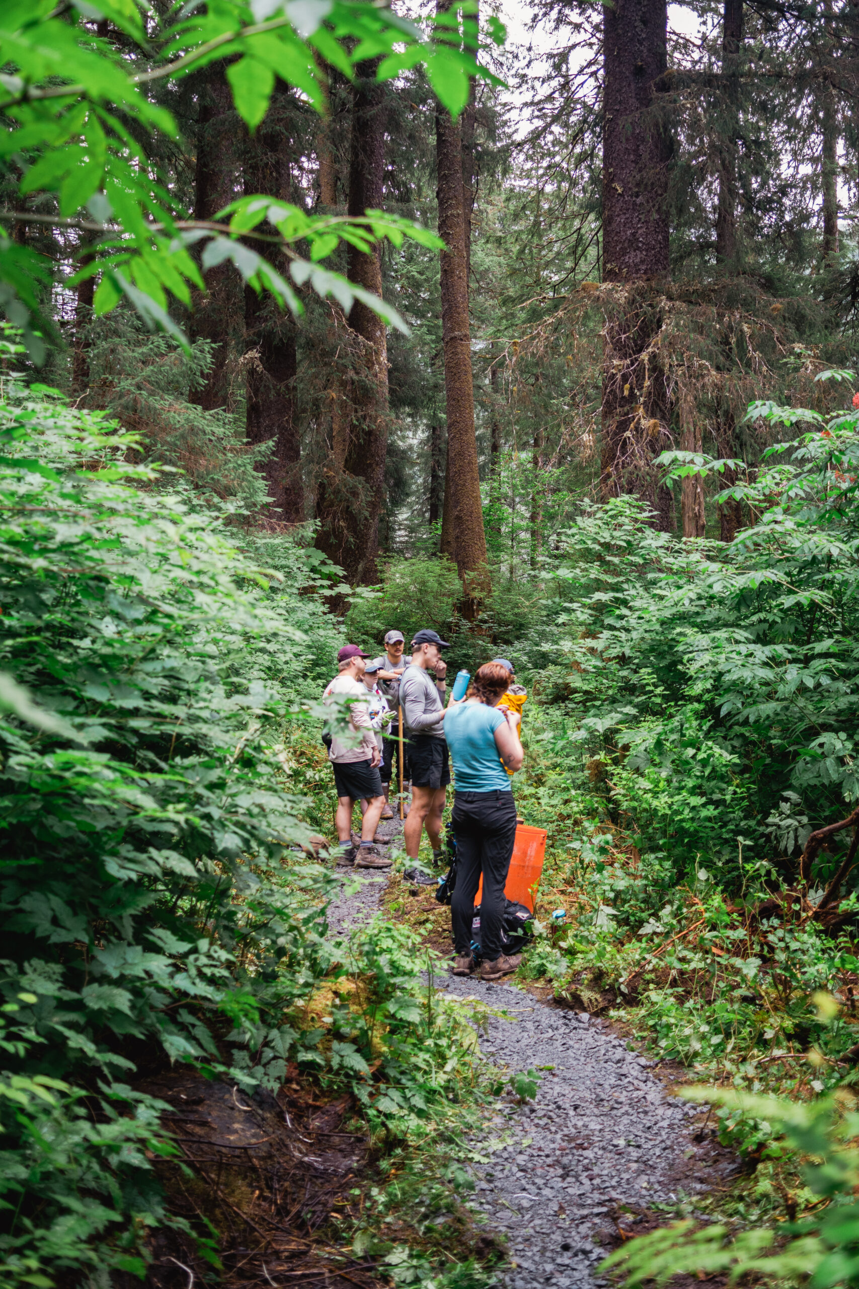
Begun in 1998, Sitka’s Cross Trail was originally built by displaced loggers after Sawmill Cove sawmill shut down as a hiking trail. Since 2006 Sitka Trail Works has worked with the City and Borough of Sitka to convert the trail to a multimodal pathway with links to other trails and access to the local neighborhoods, visitor destinations, schools and the downtown core.
Special Features
All failing boardwalk and slippery bridges have been replaced with a consistent 8 foot wide gravel tread that crosses streams with culverts instead of bridges where possible. The trail is mostly forested with a little open muskeg. Benches have been placed at regular intervals and scenic spots along the trail. It is the intention of the Trails Plan to complete this vital transportation link from end to end of the road system. Recent additions include a connector trail to Baranof Street and an extension to Kramer Drive. The trail corridor was cleared of trees specifically to allow adequate snow to fall on the trail for cross-country skiing and snowshoeing in winter, and to give bicyclists better visibility around corners.
DESCRIPTION
The trail traverses the toe-slope of the mountains along the edge of Sitka’s neighborhoods, and you will see few houses along the trail. Many different ecosystems may be seen along the route, muskeg, forested wetlands, old growth timber and second growth forest. A beautiful bridge crosses spectacular waterfalls at Cascade Creek.
One can make a loop out of the many access points, and connect to climb Gavan Hill trail, or go downtown to watch a parade, jog from ball field to ball field, or just get from one side of town to the other. Be aware of bicycle traffic and dogs should remain on the trail to protect the fragile muskeg and wetlands.
